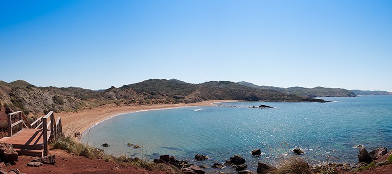
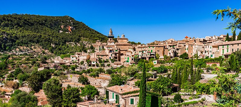
Characteristics of Sa Dragonera
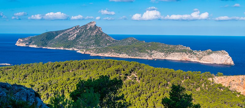
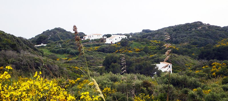
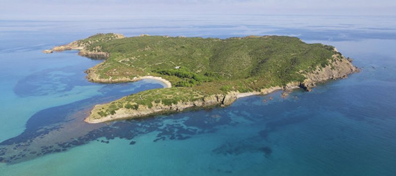
Sa Dragonera occupies an area of ??2.88 km2 and has 3 kilometers in length and a maximum width of 500 meters. Its highest point is Pico Popi (360m) and its closest neighbors are the inhabitants of Sant Elm and Port Andratx.
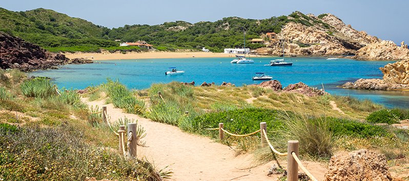
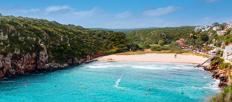
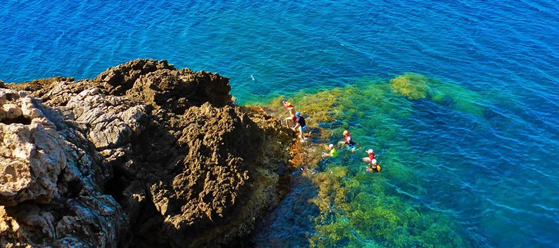
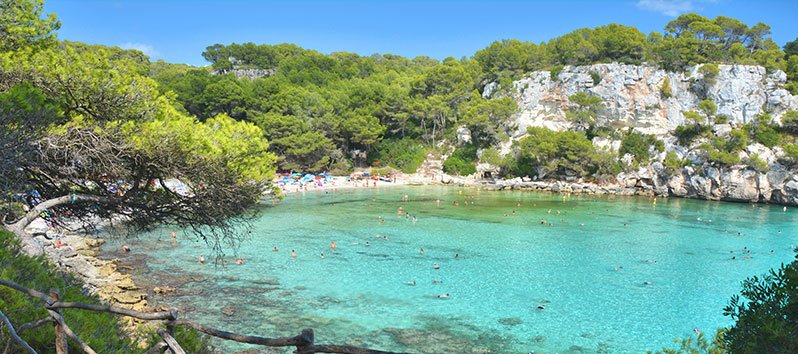
Its islets are Es Pantaleu and Sa Mitjana and it is separated from the island of Mallorca by a channel (or ‘freu’ ) of 800 meters maximum width and shallow, with sandy bottoms and presence of oceanic Posidonia.
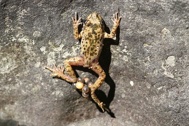
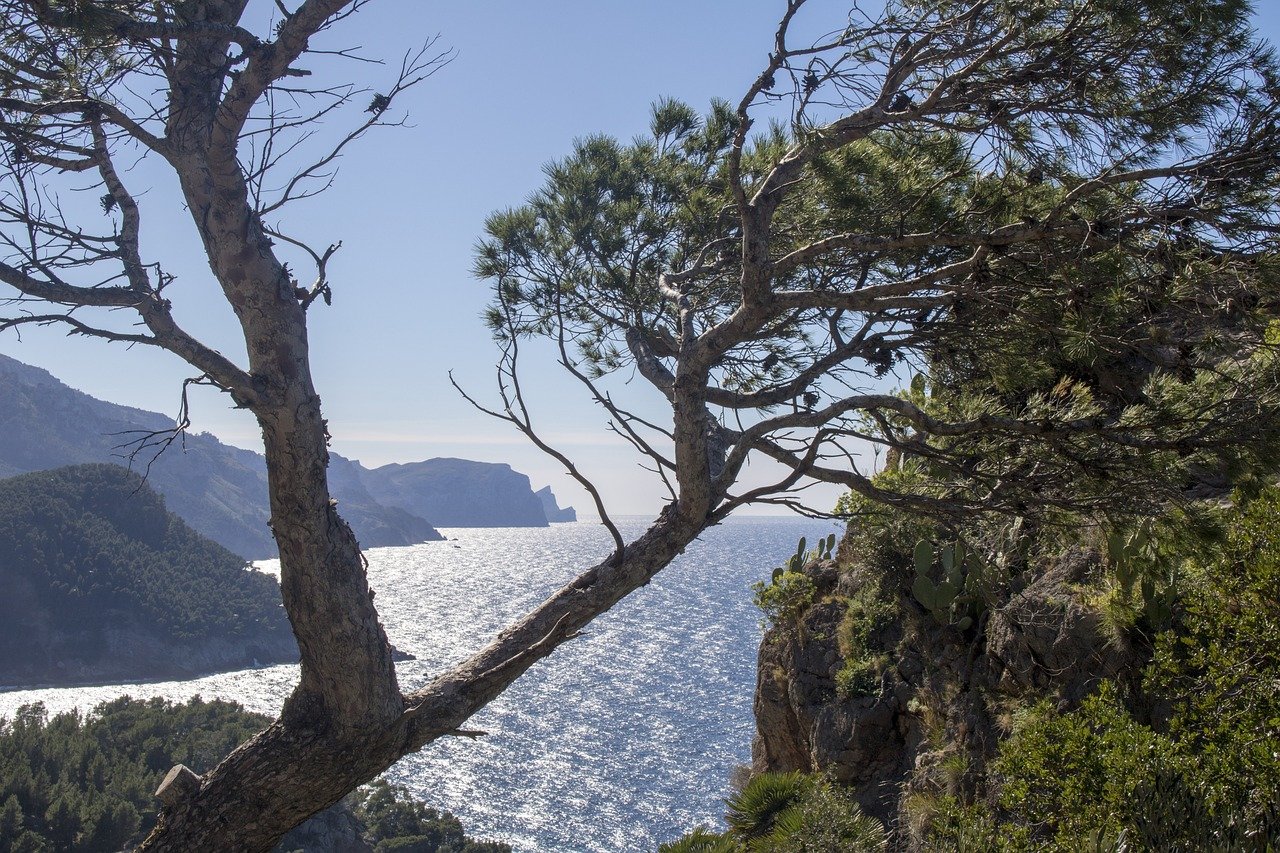
Its rich biodiversity makes it one of the most precious treasures in the area where numerous animal species live, such as the cormorant, the osprey or the common hawk, and endemic species such as the Searret (Balearic warbler) or the friendly sargantanes (Balearic lizard) .

How to get there?
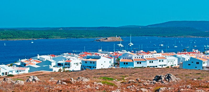
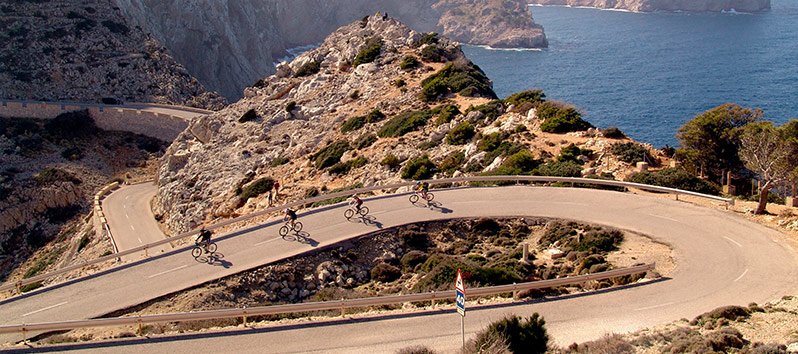
If you want to make an excursion to the island of Sa Dragonera, the only way to get there is by boat. The trip lasts about 20 minutes from the port of Sant Elm – the most recommended due to its proximity -, although boats also leave from Port Andratx. There are several companies that make this route (Cruceros Margarita and Cruceros Cormorán, among others).

It is important to know the visit times to the park in order to plan the route well: from 10am to 5pm from April 1st to September 30th and from 10am to 3pm from October to March. The entrance fee to the park is €1 and on Saturdays the visit is for free, as well as for children under 13 and for adults over 65. There is no establishment on the island, so it is essential to bring water and something to eat to spend the day there.
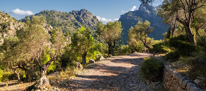
What excursions can you do in Sa Dragonera?
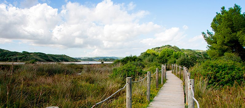
There are four different itineraries that can be done on the island, all perfect for most hiking enthusiasts.

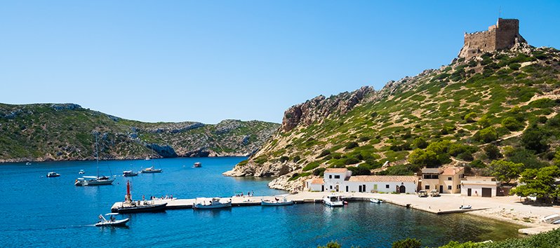
Route 1 : Cala Lladó – Faro de Tramuntana
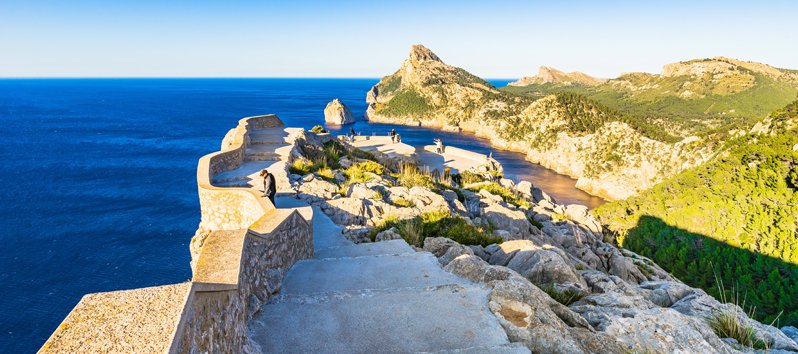
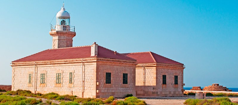
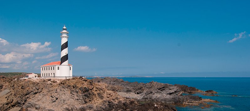
This excursion leaves from the pier of Es Lladó (only accessible point) and finishes at the easternmost end of Sa Dragonera, the Tramuntana lighthouse, named for the beautiful views that can be enjoyed from the famous Majorcan mountain range.
This route has a length of 1.7 kilometers and is formed by gentle slopes and a maximum altitude of 65 meters. Its duration is 1 hour (round trip). In the lighthouse there is an interpretation center to soak up the idiosyncrasy of the island.
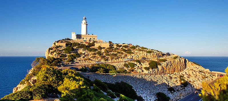
Route 2 : Cala Lladó – Na Pòpia (Far Vell)
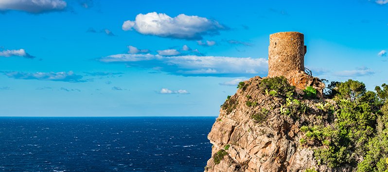
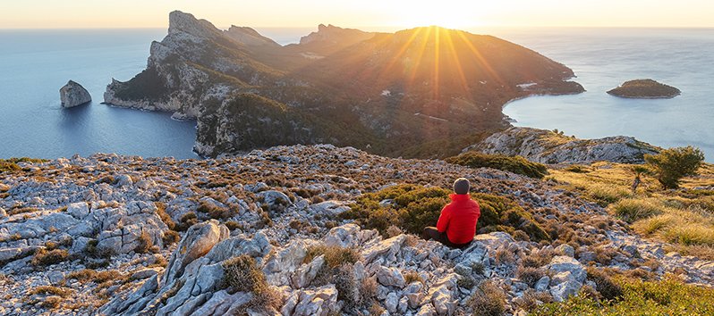
The longest of the excursions ends at the old lighthouse that was abandoned more than a century ago because it was usually covered by clouds as the lighthouse located at the highest altitude in Spain (352 meters).
It has a distance of 3.8 kilometers (which will take us about 3 hours – round trip – to complete its journey). The views over the cliffs of the north coast of the island are remarkable.
Route 3 : Cala Lladó – Faro de Llebeig
This itinerary ends in another of the two lighthouses on the island, which is located on the southwest coast of Sa Dragonera. Although it is the longest route (4.5 kilometers), it will only take 2 hours and 40 minutes to cross it since the slope is softer than the previous one.
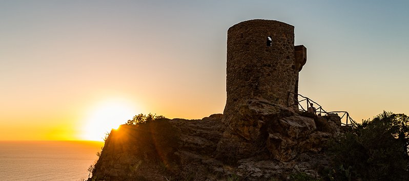
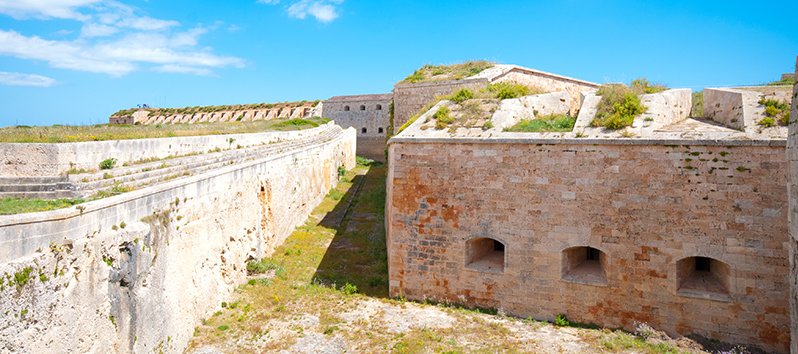
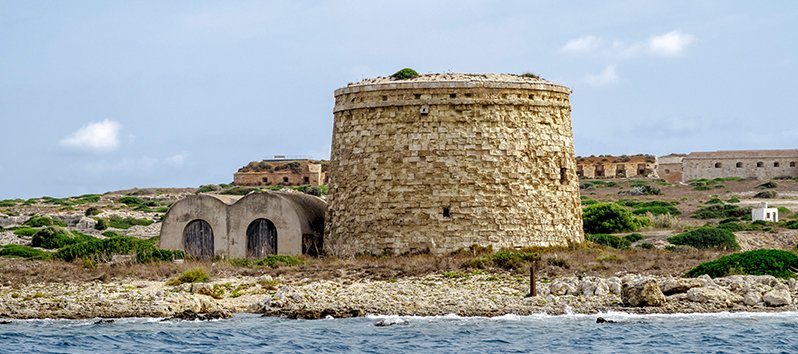
You can visit the Torre de Llebeig, a 16th century watchtower, and sometimes enjoy the flight of Eleanora’s hawk during the autumn months.
Route 4 : Cala Lladó – Na Miranda
The shortest of the routes, barely has 1 kilometer in length and is the simplest of the routes due to its low gradient (only 50 meters of altitude difference). It is a circular excursion that can be completed in just over half an hour. You can see the old cultivation areas of Cala Lladó (olive grove and cereals).
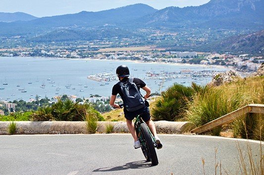
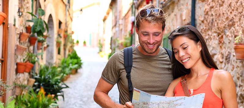
Approaching Sa Dragonera on a sunny morning is a great option for all those who wonder what to do in Mallorca without stepping on a beach. Let’s go?